
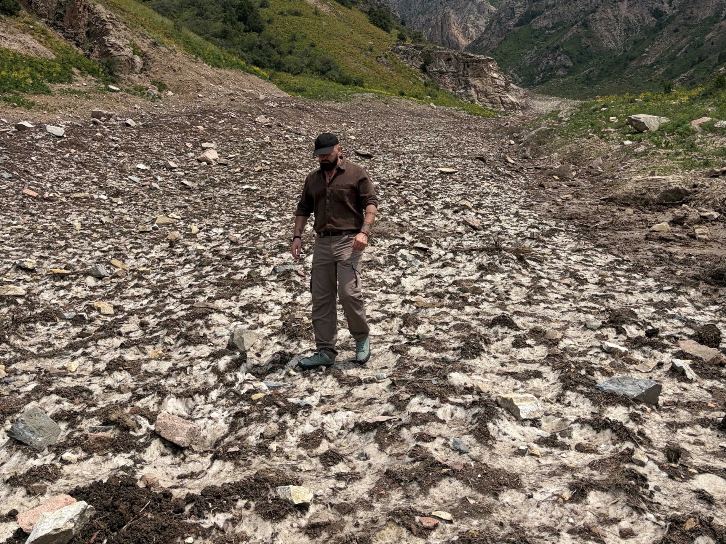
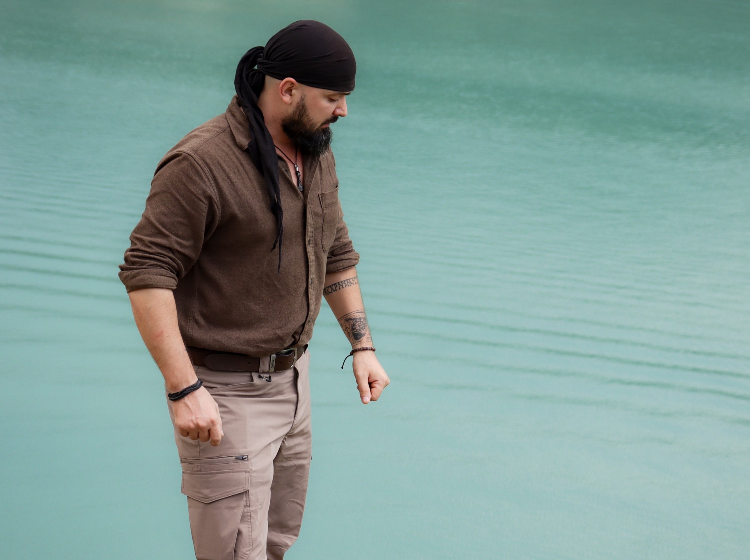
Have you seen the water in the Tian Shan Mountains? The rivers and lakes here are often turquoise. This is caused by glacial flour—microscopic particles of rock formed as glaciers slowly grind the stone beneath them. Meltwater then carries this fine mineral suspension into bodies of water, where the particles remain suspended for a long time and scatter sunlight in a particular way. The red portion of the spectrum is absorbed more strongly, while blue-green light is reflected back to our eyes, making the water appear turquoise, milky blue, or even a deep emerald green.
In other words, you could say that what we are seeing is the color of mountains ground down by glaciers.

Today, I want to talk about the water system of the Central Asian mountains and the degradation of its groundwater. This is extremely important for the research work we are conducting to determine the boundaries of the future protected-area system—the Territories of Full Ecological Tranquility. One of the main reasons urgent changes in wildlife protection are necessary is the fact that, together with nature, our own one and only habitat is now being destroyed. Many experts predict wars over clean water in the years ahead, while major global corporations are already multiplying their investments in water sources and taking control of them in anticipation of explosive growth in water prices in the near future.
So what are we waiting for? We need an interstate alliance between Russia and neighboring countries to create a network of Territories of Full Ecological Tranquility (TFET), including to prevent future conflicts and wars over water. We must preserve these sources not only for our children, but also to sustain the animals and plants that will inhabit TFET biological refuges.
So.
During my current expedition, I visited several major water bodies in the countries of Central Asia. I was interested in mountain glaciers and how their water transitions into the aquifers below. The work has been preliminary so far, and a more in-depth study will need to be conducted later. At present, there is not enough funding even for basic essential tasks. I will therefore try to resolve this problem, and later it will be absolutely necessary to study the region’s aquifers in the field.
Hydrologically, Central Asia is sharply asymmetrical: most runoff is generated in the mountains, while most water withdrawals occur downstream. Nearly all of the region’s water is generated in the mountainous headwaters of Kyrgyzstan and Tajikistan, whereas most water withdrawal takes place across the irrigated plains of Uzbekistan, Turkmenistan, and southern Kazakhstan. Agriculture alone accounts for approximately 90% of all freshwater withdrawals in the region.
As part of my personal research, I will later need to travel to the Aral Sea while also studying the region’s aquifers along the way. In the Aral Basin, more than half of the average annual runoff is generated in Tajikistan and nearly one quarter in Kyrgyzstan. As you know, the Aral Sea was destroyed in the Soviet Union, and now all of Central Asia’s aquifers are rapidly degrading. A catastrophe caused by the future lack of clean water is being forecast.
The Tian Shan Mountains, followed by the Pamirs, are therefore the hydrological heart of the lowland states. This is yet another reason for the urgent establishment of Territories of Full Ecological Tranquility (TFET) here. Glaciers and perennial snowfields also function as seasonal reservoirs. I found useful FAO data on this issue, stating that mountain ice and snow provide 10–30% of total runoff, with their contribution increasing even further during the dry season. For example, World Bank materials on Tajikistan indicate that glaciers contribute as much as 70% of the water in the main river systems during the driest periods of the year, when river flows are at their lowest.
We can therefore conclude that degradation of the headwaters automatically becomes a food, energy, and security problem throughout Central Asia.
Many people have asked me, “But what about groundwater?” Here, of course, I must explain that groundwater truly is a strategic layer within this system. But here is the issue: I found a strong 2020 scientific study covering five Central Asian countries, in which researchers consolidated an inventory of 34 transboundary aquifers. These aquifers are concentrated primarily within transboundary river basins and are closely connected to the mountain runoff-generation zones.
The key systems include the Syr Darya complex, the Pre-Tashkent Aquifer between Kazakhstan and Uzbekistan, the Chu and Talas aquifers between Kyrgyzstan and Kazakhstan, and a chain of Tajik-Uzbek aquifers, including Kofarnihon, Karatak/North Surkhandarya, Zeravshan, Dalverzin, Zafarabad, and others.
Put simply, Central Asia’s groundwater is not an independent reserve capable of existing separately from the mountains and rivers. It is part of a single water system formed in the mountain regions and replenished by precipitation, snow, and glaciers. This means that protecting the Tian Shan and Pamir Mountains and their mountain ecosystems, and incorporating them into the Territories of Full Ecological Tranquility (TFET), is critically necessary. If the destruction of these mountain ecosystems, the degradation of watersheds, water withdrawals in the headwaters, and the loss of glaciers continue, the entire water basin will be affected—including the depletion and contamination of underground aquifers.
The most important point is that no single state CAN PROTECT these aquifers on its own. It is impossible. The region’s groundwater does not belong to one country—it crosses national borders and connects Central Asia into a single hydrological system. Therefore, if one country depletes an aquifer, contaminates its recharge zone, or destroys a mountain watershed, it will inevitably become a problem for every other country as well.
I tried to find data on the decline of aquifers over the past century, but unfortunately, such information does not exist even in local scientific studies. I mean genuinely reliable figures. However, I did find evidence-based estimates for recent decades by examining GRACE satellite analyses for Central Asia. For 2002–2020, the analysis revealed a three-phase pattern in groundwater storage: decline from 2002 to 2008, partial recovery from 2009 to 2017, and a renewed decline after 2018.
In some ways, this resembles stock-market charts, where volatility is constantly changing and, despite an overall decline, people begin interpreting every slight upswing as “absolute growth.” The situation is now worsening as cropland expands, overall temperatures rise, and water withdrawals for agricultural and household needs increase. Experts logically expect aquifer levels to continue falling.
We must examine the system as a whole, without local biases, so let us consider other data. The eastern part of the broader Central Asian water system is Xinjiang, which is also directly connected to the Tian Shan Mountains. In a 2019 scientific study, researchers modeled an ongoing and sustained decline in groundwater storage between 2003 and 2016 at a rate of approximately 3.10–3.61 millimeters per year in water equivalent, while water withdrawal doubled over the same period.
Many people will now say to me, “Ha-ha, millimeters—nothing frightening at all.” To an ordinary person, it is three millimeters of water disappearing from a glass. Across a vast natural territory, however, it represents a uniform layer of water disappearing every year from the entire area under study. Consider this: one millimeter of water spread across an area of one square kilometer equals 1,000 cubic meters of water. Between 2003 and 2016, the cumulative decline amounted to approximately 43–51 millimeters in water equivalent. This means that the study area effectively lost a layer of water roughly five centimeters thick.
In Xinjiang, groundwater sustains rivers during low-flow periods, as well as springs, floodplain forests, wetlands, and vegetation at the foot of the Tian Shan Mountains. It is the hidden water foundation preventing the collapse of local ecosystems. Nature does not react immediately: for a time, vegetation and rivers may persist by relying on previously accumulated reserves. Then the system enters a sharp and uncontrolled decline: groundwater levels fall, springs and small streams dry up, tree roots can no longer reach the aquifer, and forests, floodplains, and wetlands begin to degrade. The food base then collapses, animals die of starvation, habitats shrink, and a genuine race for survival begins across these regions.
As the area affected by aquifer loss continues to expand and these processes persist over long periods, everything around it degrades and dies. Meanwhile, people increase water withdrawals in response to water shortages in agriculture, depriving ecosystems of their final chance at Life.
The situation is also critical in individual transboundary systems. For the Pre-Tashkent transboundary aquifer, Kazakh-Uzbek materials explicitly identify two principal problems: groundwater depletion and the risk of declining water quality. This is one of the largest and most important aquifers in the Syr Darya Basin. I have already visited and studied these areas as extensively as possible, but I believe I will need to return later for more thorough observations.

If this continues, real wars over clean water will begin. This is not “fortune-telling with leaves and stones,” but a genuine scientific assessment. I found a recent 2025 scientific study titled “Water and Conflict in Central Asia.” Its experts report that interstate water disputes in Central Asia became more frequent between 2014 and 2024, including violent incidents. Since 1990, the authors have counted at least 27 interstate water disputes, 14 of which involved violence and resulted in at least 400 deaths. And the real catastrophe has not even begun yet.
The report emphasizes that, according to its data, water stress will intensify through 2050. In other words, serious conflicts are possible, but they can be prevented if the Central Asian countries join with Russia to create a unified conglomerate of Territories of Full Ecological Tranquility. This is an irrefutable argument in favor of our project and the importance of implementing it.
Incidentally, I found data in another UNEP review indicating that, by 2050, runoff in the Amu Darya Basin may decline by approximately 30% compared with the average level of the previous decade, while glacier loss in the Panj and Vakhsh basins will be especially severe. As I stated earlier, because these countries are critically dependent on summer water, this will almost certainly escalate into armed conflicts.
The problem is further intensified by the collapse that begins when there is no coordination among countries and each one “pulls the blanket toward itself.” Any infrastructure project undertaken without assessing its consequences for a neighboring country can become a catastrophe. For example, the Qosh Tepa Canal currently being constructed in Afghanistan may divert approximately 15–20% of the Amu Darya’s flow, thereby worsening water scarcity in Uzbekistan and Turkmenistan. Moreover, as I see it, even experts rely only on simplified estimates, without assessing the possible combined effects during low-water years.
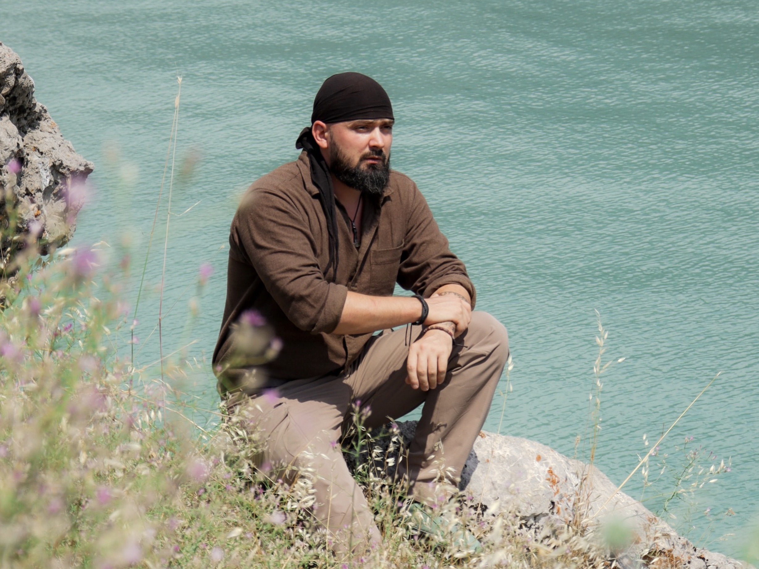
Therefore, in my current expeditionary research, I have reached an unequivocal conclusion: states must protect not only individual lakes or river channels, but the entire interconnected system of mountain watersheds, snow-and-ice zones, mountain forests, mountain steppes, and groundwater recharge zones.
What choice is there? Either the Central Asian countries continue destroying their shared water system and then begin preparing for scarcity, mass migration, and conflicts over water, or they unite and create Territories of Full Ecological Tranquility to protect the natural mechanisms on which the very existence of the region depends—the lives of tens of millions of people.
Without protecting nature, we cannot protect humanity.
© PAVEL PASHKOV
Support the fight!
The hardest thing in our time is to remain independent from government and business! All activities are carried out independently. Stand with us and support our Mission to protect wildlife.
I want to support!Get involved
On an ongoing basis, we launch public initiatives together to protect wildlife and achieve real change. Join this work and help change the world for the better.
Explore the initiativesTFET Concept
We are working to transform the global protected-area system — Territories of Full Ecological Tranquility (TFET) must be created. Wildlife needs refuges from human pressure! This is one of the key paths out of the planetary ecological crisis and toward preventing further ecosystem collapse.
Learn more
